

Recap: August Maligne Expedition
Photos by Nat Gillis
In late August of 2023, our team set off to retrace the final leg of Mary Schäffer Warren’s 1908 journey to Maligne Lake. Our goal wasn’t only to retrace her journey, but to also take a bit of Mary with us through her words and photographs from her expedition and spend time reflecting on what it means to walk in the footsteps of someone else, including the Indigenous people who came long before any settler.
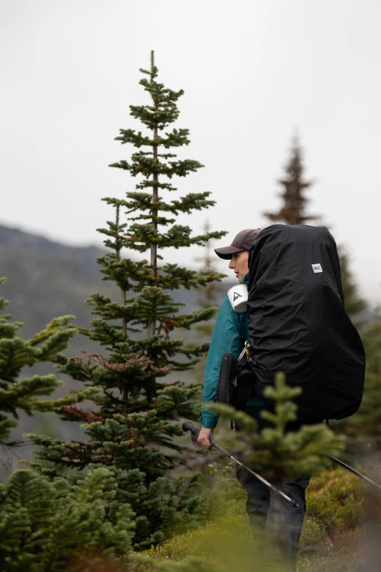
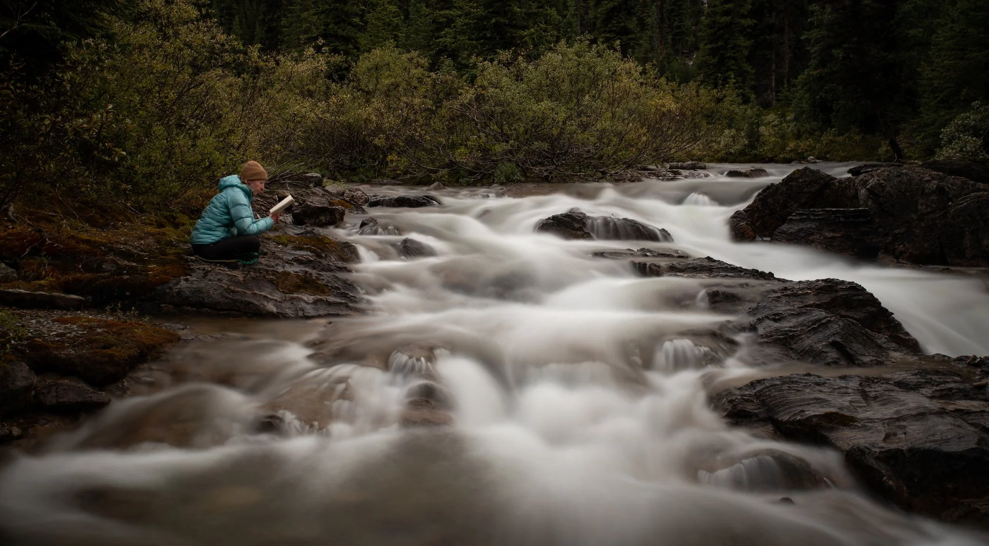
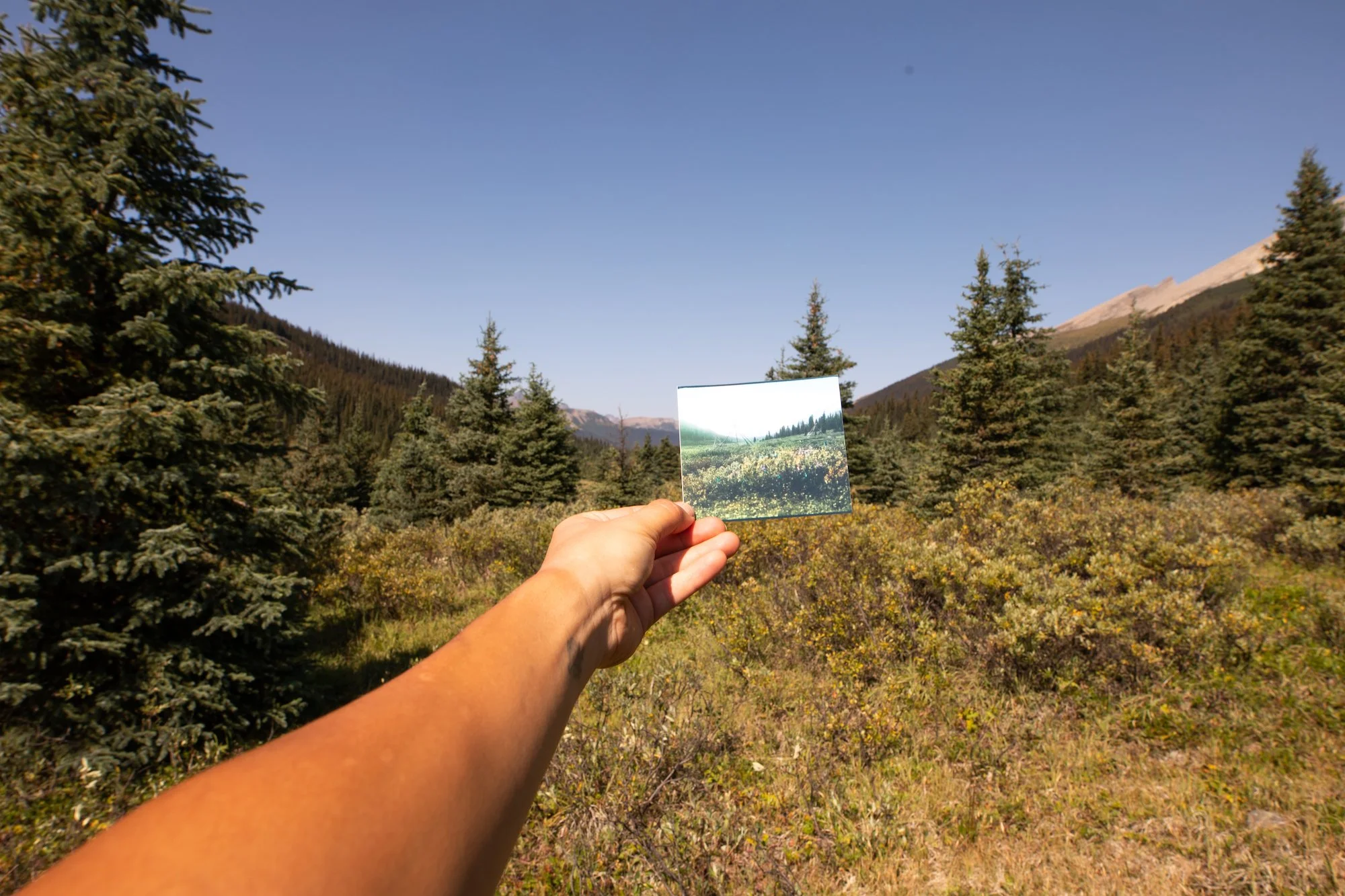
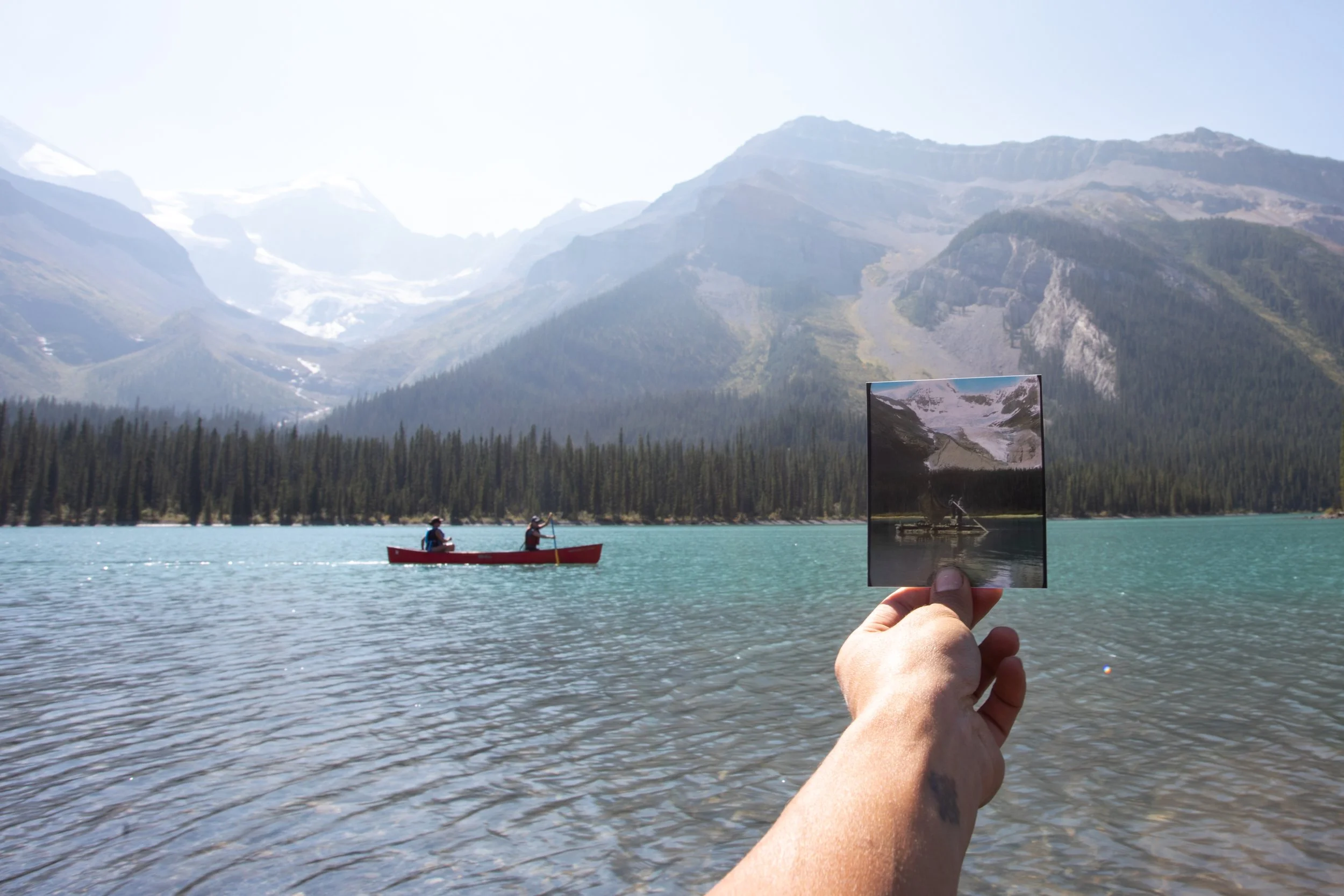
Along the way, our photographer Nat Gillis recreated some of the images in Mary’s collection, which provided an interesting dialogue amongst the team about the changes they were seeing in the landscape and in the experiences of the parties moving through that land a century apart. Meghan kept a copy of Schäffer’s book handy (in ebook format on her phone, next to all her navigation apps!), so that the team could hear Schäffer’s own words during key moments of the trip. We’ve included some passages below from each day of following Schäffer’s account.
The adventure reached a peak on Day 4 when the logistical hurdles grew more challenging. Read on for a day-by-day breakdown of how the trip went! We’ve kept some details a secret for now (you’ll need to wait for Wildflowers to come out to see what happened!)
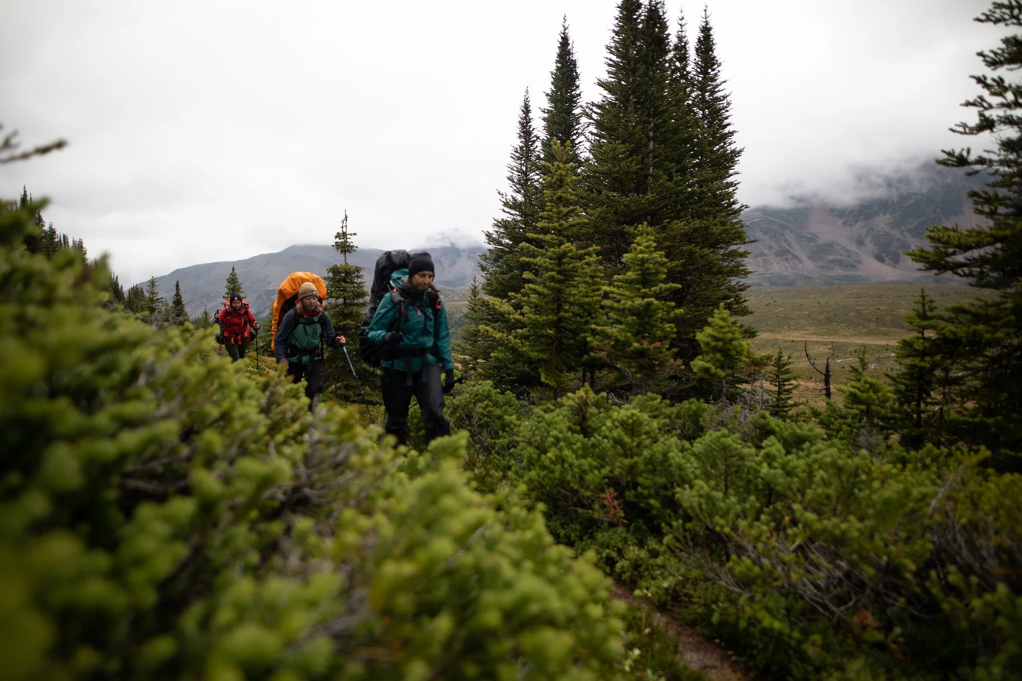
Day 1
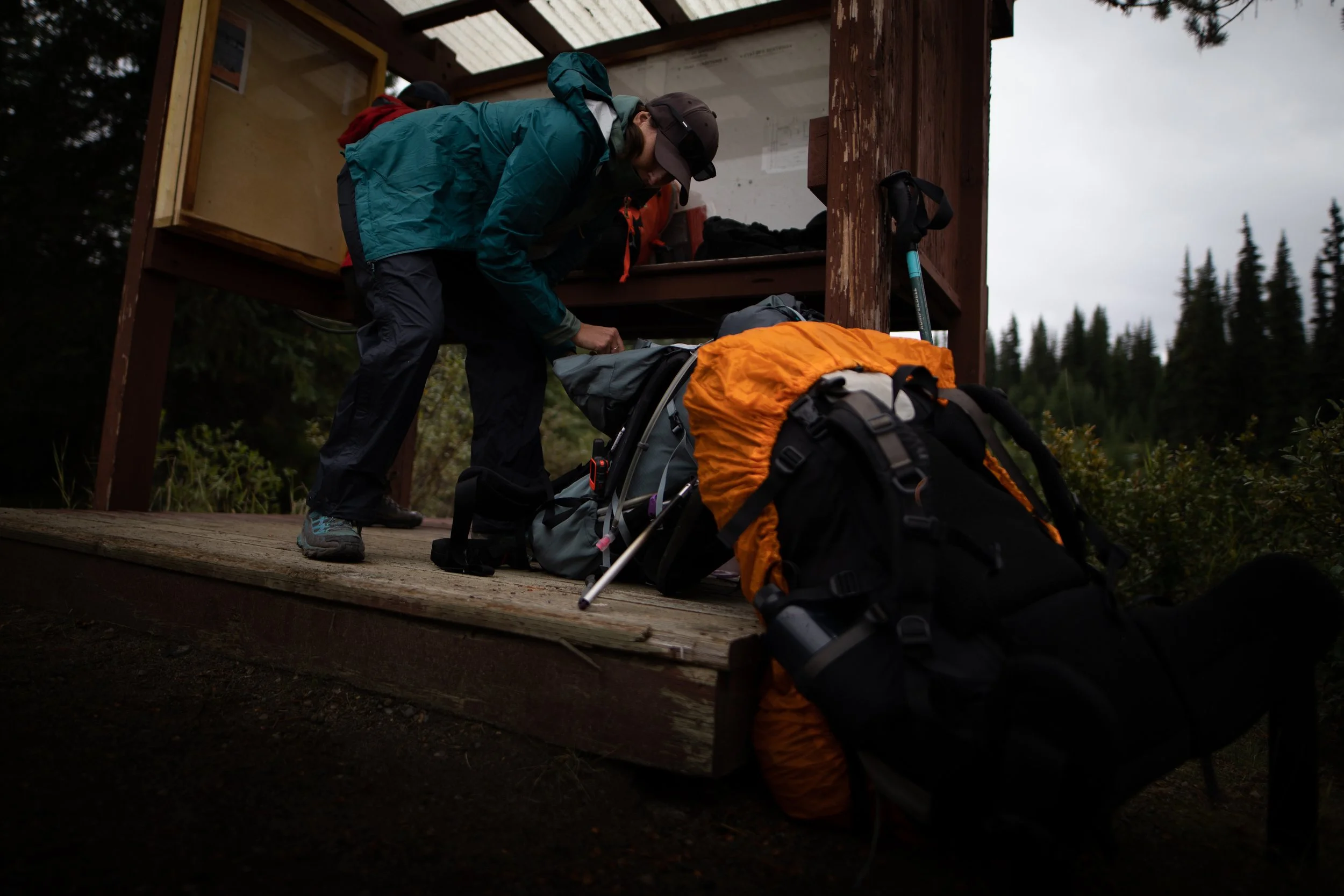
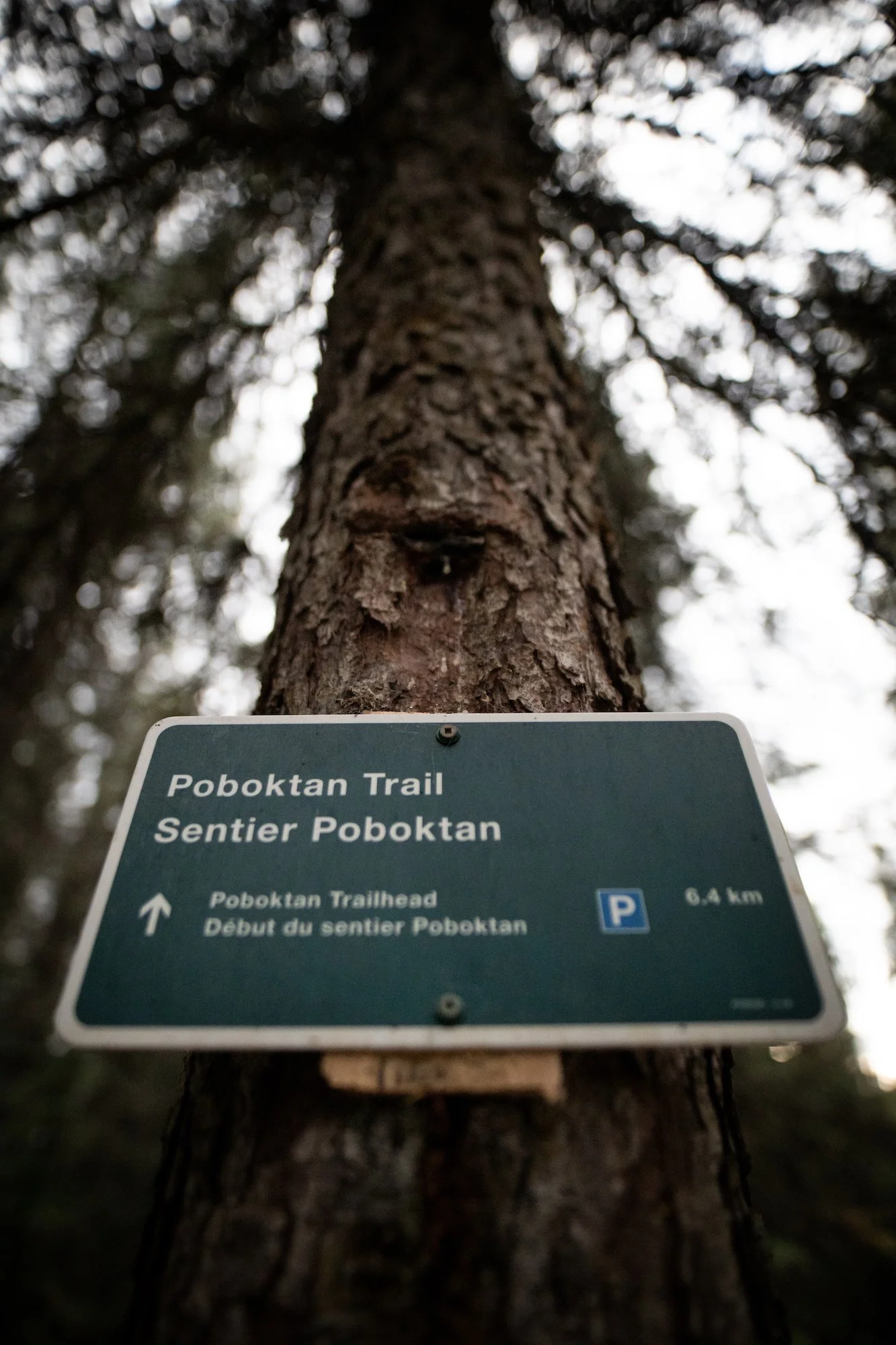
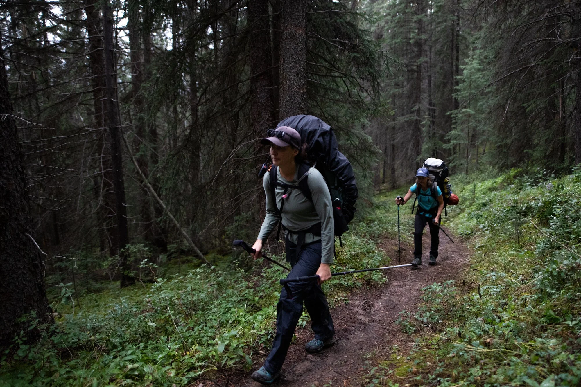
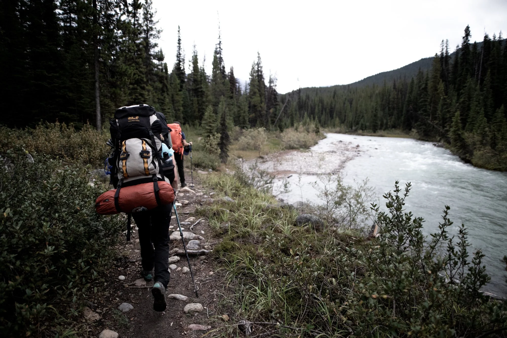
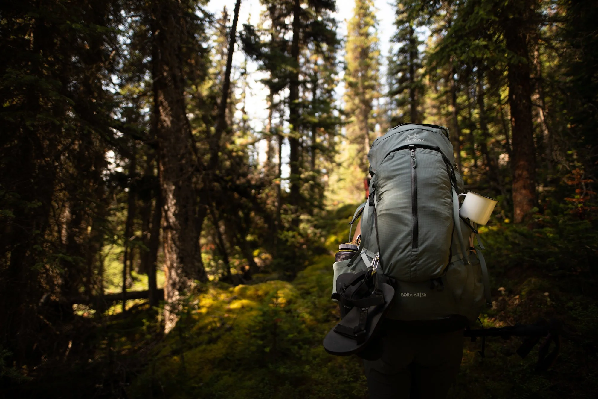
Poboktan Creek Trailhead to Avalanche Campground (11 km)
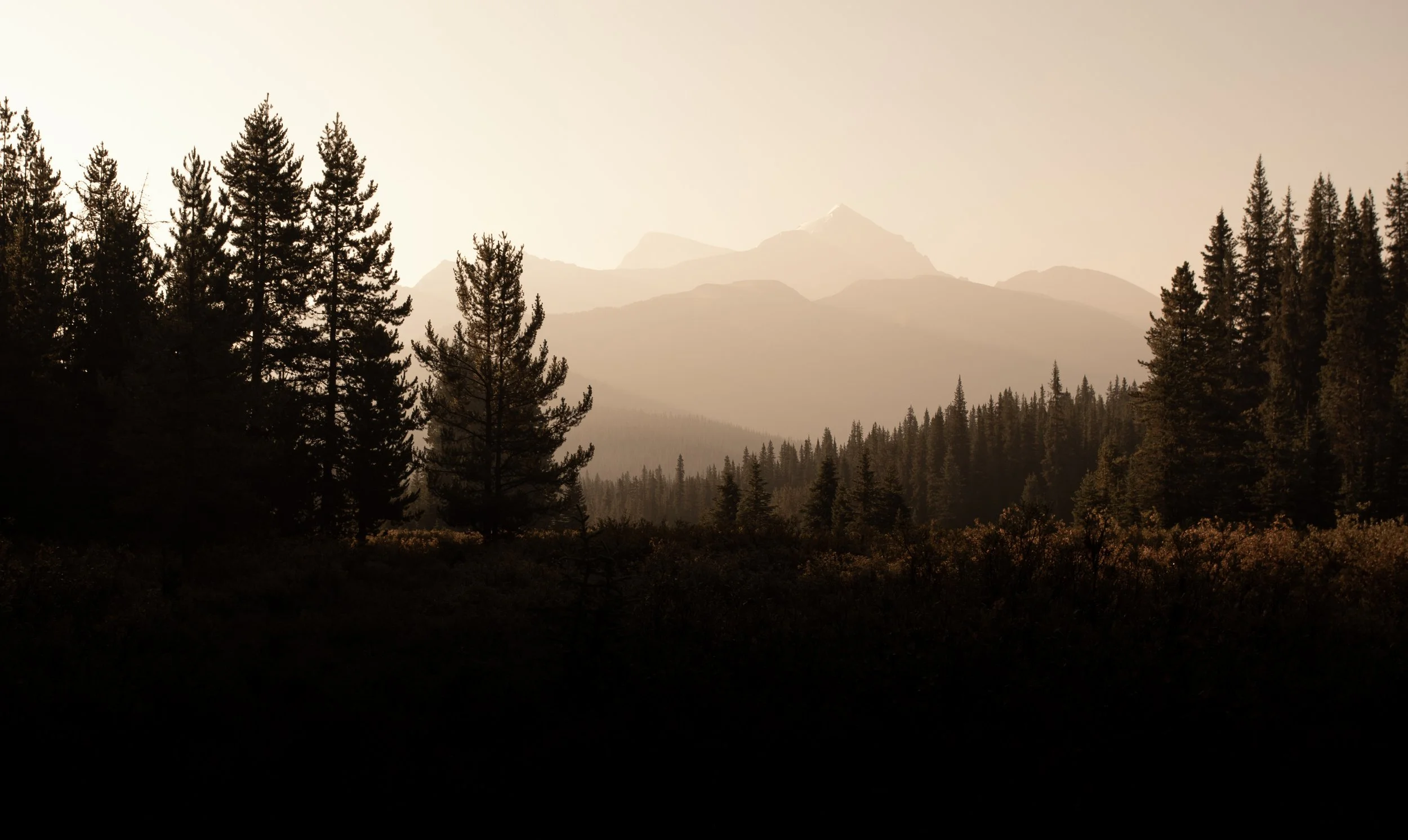
The crew packed the van to the brim and set off towards the Poboktan trailhead. They made a few Mary-inspired stops along the way, including the Lake Louise Railway Station, Crowfoot Glacier lookout and Bow Lake. At several of these locations, our photographer Nat Gillis created repeat images of some of the ones in Mary’s lantern slide collection (with more captured throughout the trip).
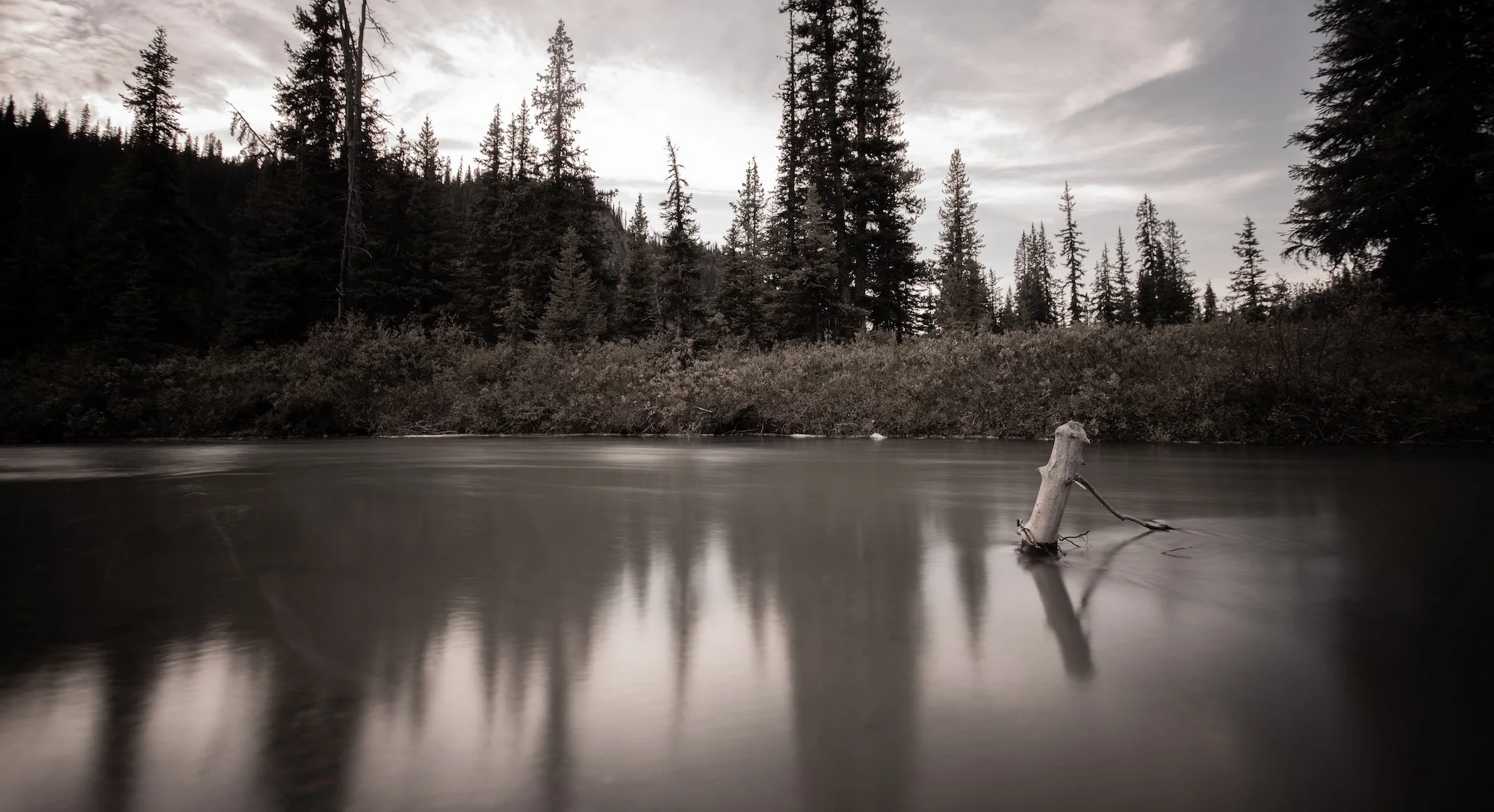
From the Poboktan Creek trailhead, Meghan, Jane, Nat and Anandi walked a wet and slippery trail, forded or balanced across trees to cross five or so streams, and arrived at camp just as it got dark. It rained all night long and they woke up to a dusting of snow on the peaks. 🏔️
“The morning of the “Glorious Fourth” was ushered in with a crackling fire at our tent door and a familiar voice saying, “Hot water, thermometer somewhere about 30!” It took a terrible lot of courage to emerge from the warm blankets, from which position we could note six inches of snow over everything, and every few moments the howling wind would send a fresh supply down upon us.”
- Mary T.S. Schäffer, Old Indian Trails of the Canadian Rockies [1911]
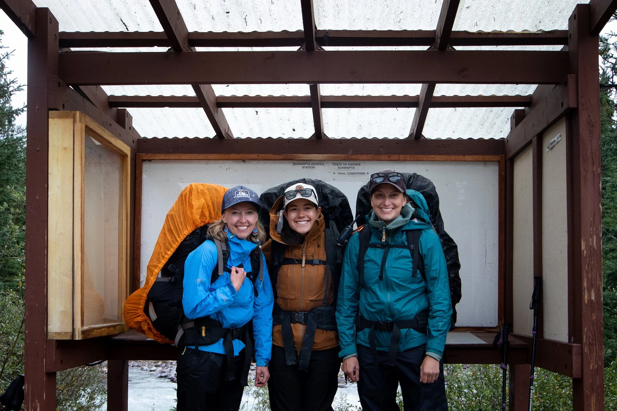
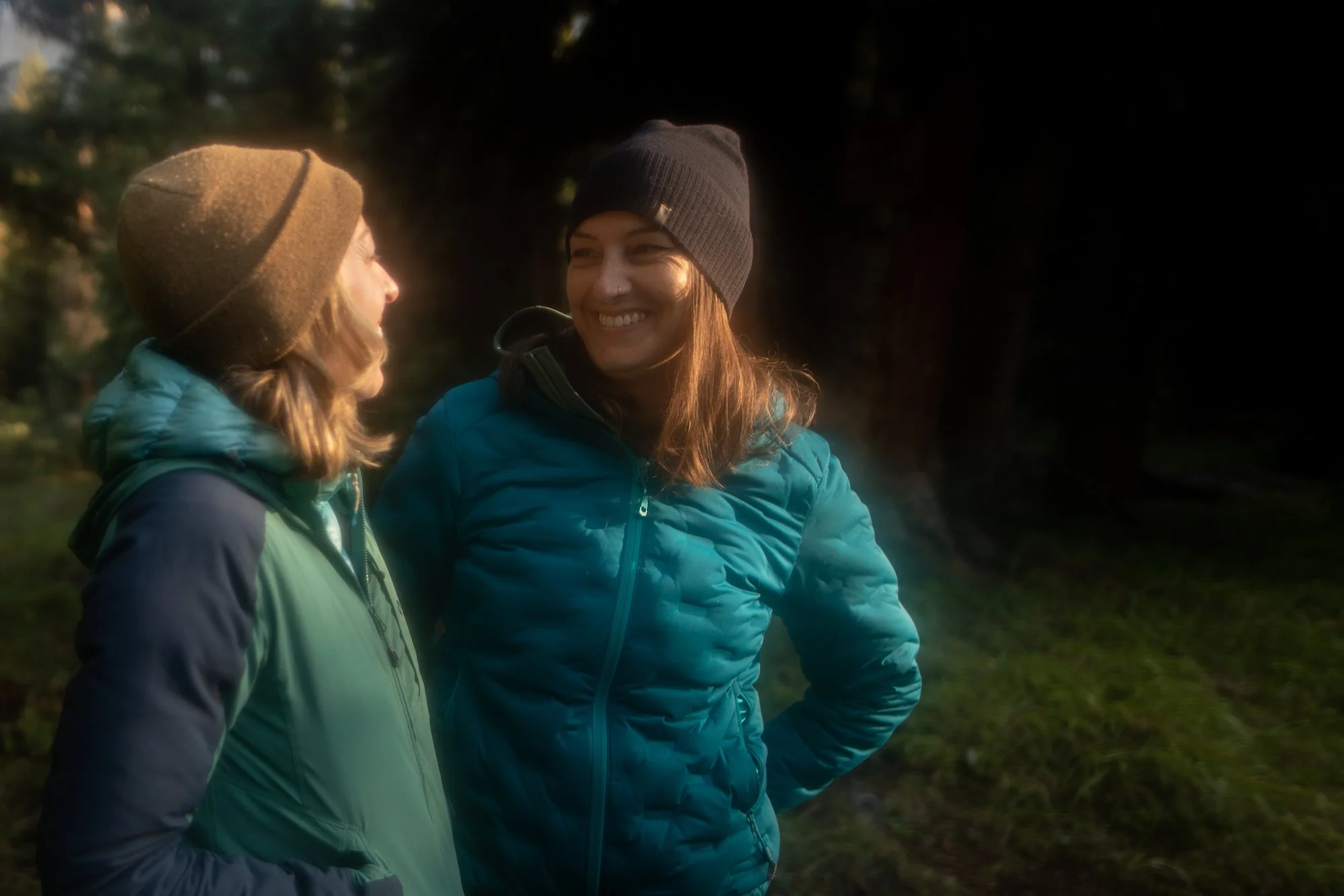
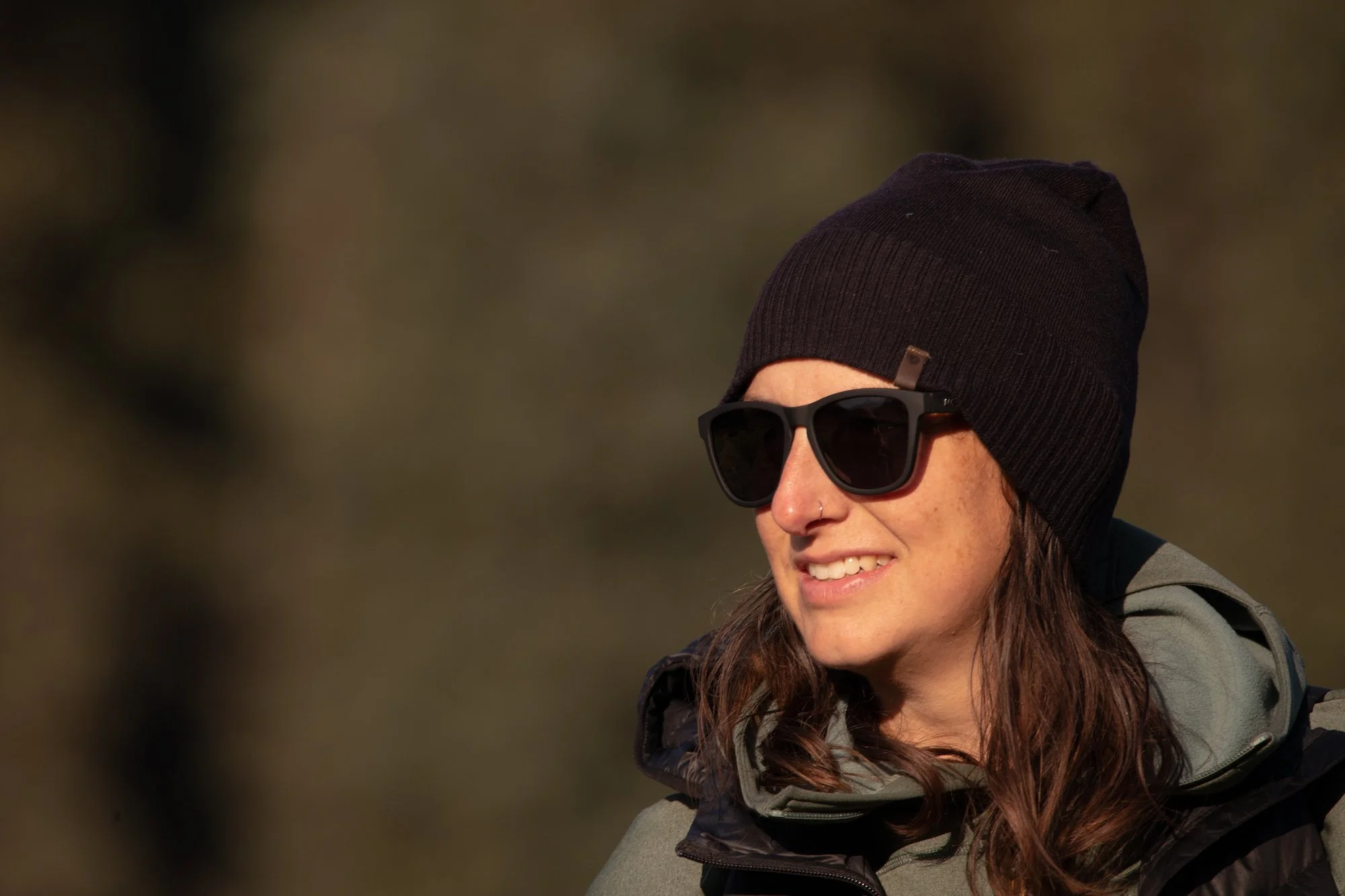
L-R: Jane, Nat, Meghan
Day 2
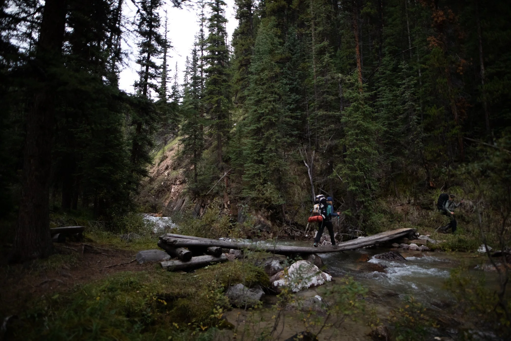
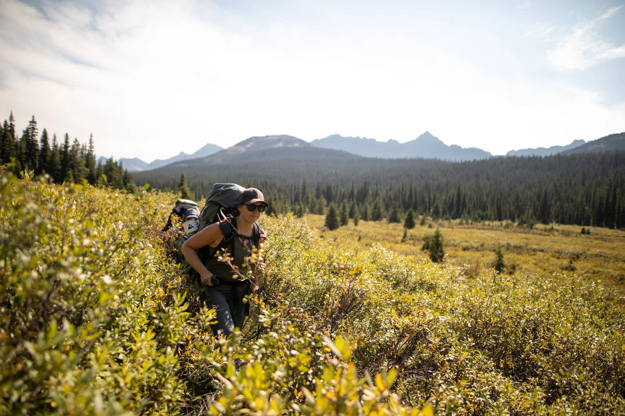
Avalanche Campground over Maligne Pass to Mary Vaux Campground (7 km)
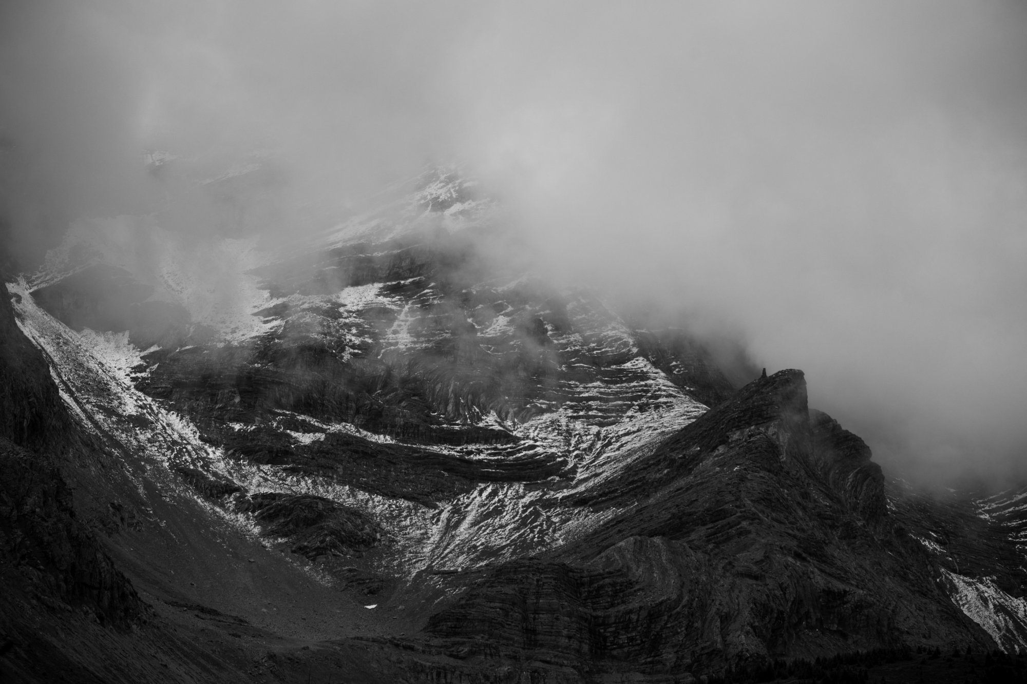
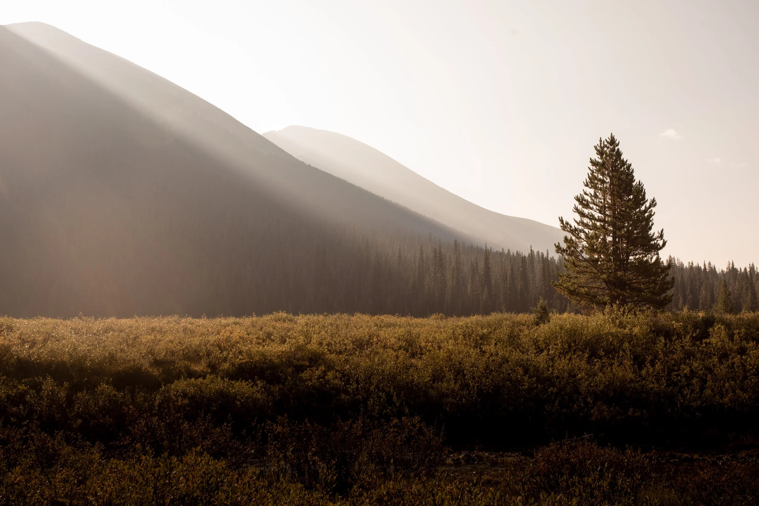
The hiking team set off in wet, slippery conditions with sights set on Maligne Pass, where we intended to recreate one of the lantern slides from Schäffer’s collection. We found the spot but it was shrouded with clouds, so we waited for the skies to clear (growing rather cold in the process). As the fog lifted, we saw we were in the right spot for the shot. So cool! We then hiked down into the greenest of valleys, through marshland, and across various bodies of water before making our way to Mary Vaux campground for the night. 🏔️
We followed a cow and calf moose for three days but never did see them!
“The new pass [Maligne Pass] was a duplication of all other passes, soft and spongy; our aneroid showed the altitude as 7,200 feet. Long patches of snow made the travelling very heavy, but the pass was a short one, and, with the saddle horses ahead breaking the way, we were not long in getting over. Reaching the eastern slope, I think I never saw a fairer valley. From our very feet it swept away into an unbroken green carpet as far as the eye could see.”
- Mary T.S. Schäffer, Old Indian Trails of the Canadian Rockies [1911]
Day 3
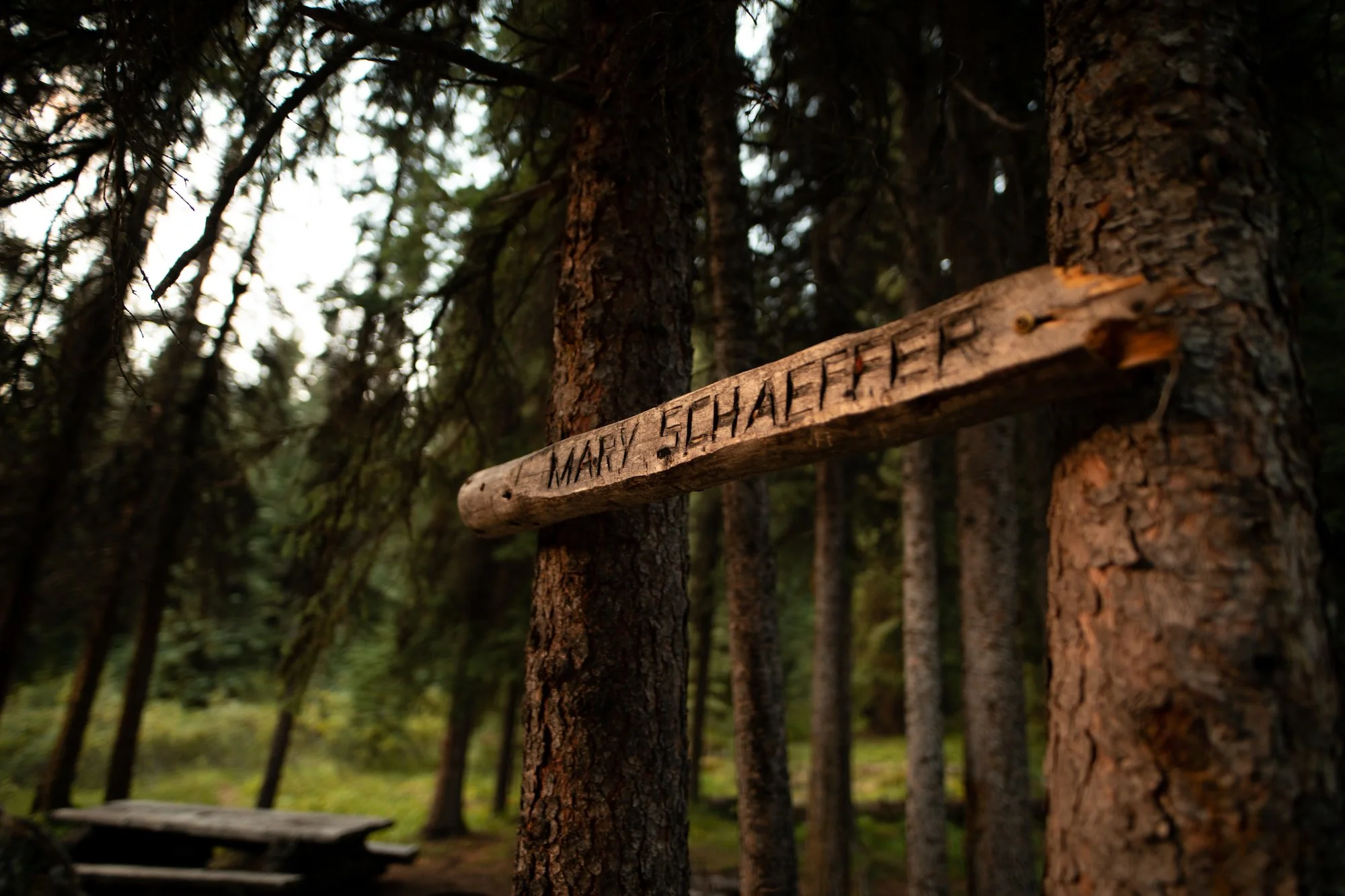
Mary Vaux Campground to Mary Schäffer Campground (11 km)
The sun finally came out! ☀️ This day brought us some cruisey hiking from Vaux campground to Schäffer campground, through spruce and pine forests and willow-filled fields. We mostly just covered ground (at times slowed by the overgrown trail), but we did manage one repeat shot of an image from Schäffer’s collection that showed the tepee poles that her group came across.
For us, it was clear evidence of whose footsteps we’re all really following on this journey.
“Two and a half miles below the summit [of Maligne Pass], finding a bunch of tepee poles—a hint we were now in the habit of taking from the Indians—we made our camp. In the afternoon, I took a stroll up a nearby hill, hoping to be able to report having seen the lake on my return; but no such glory was in store.”
- Mary T.S. Schäffer, Old Indian Trails of the Canadian Rockies [1911]; note the publication date, which explains the now inappropriate terms used by Schaffer with reference to Indigenous peoples.

Archive image: Maligne Valley [v527-ps-1-76] Whyte Museum of the Canadian Rockies.
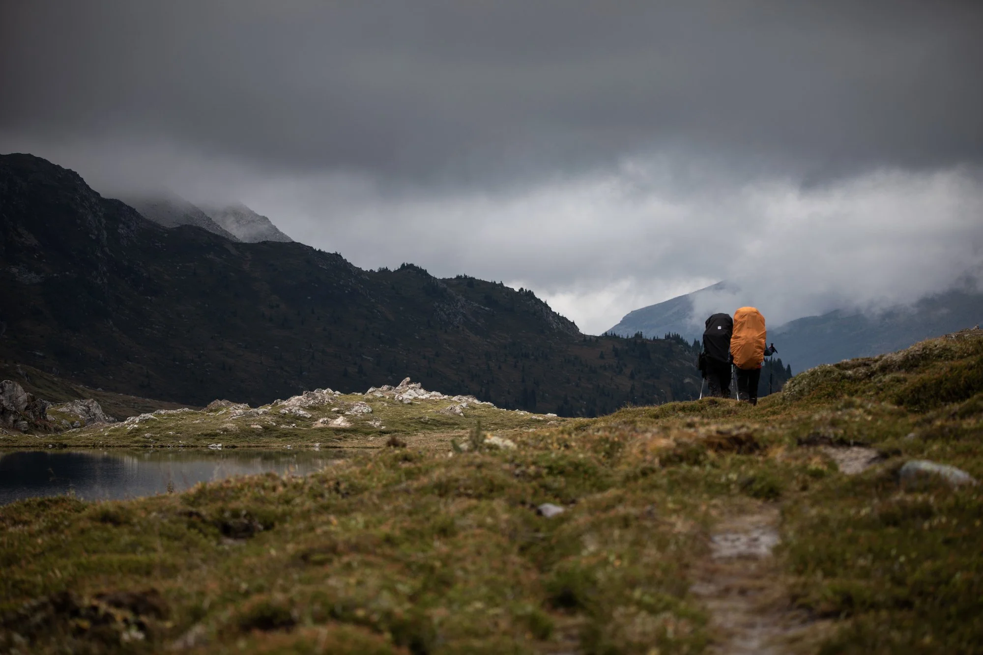
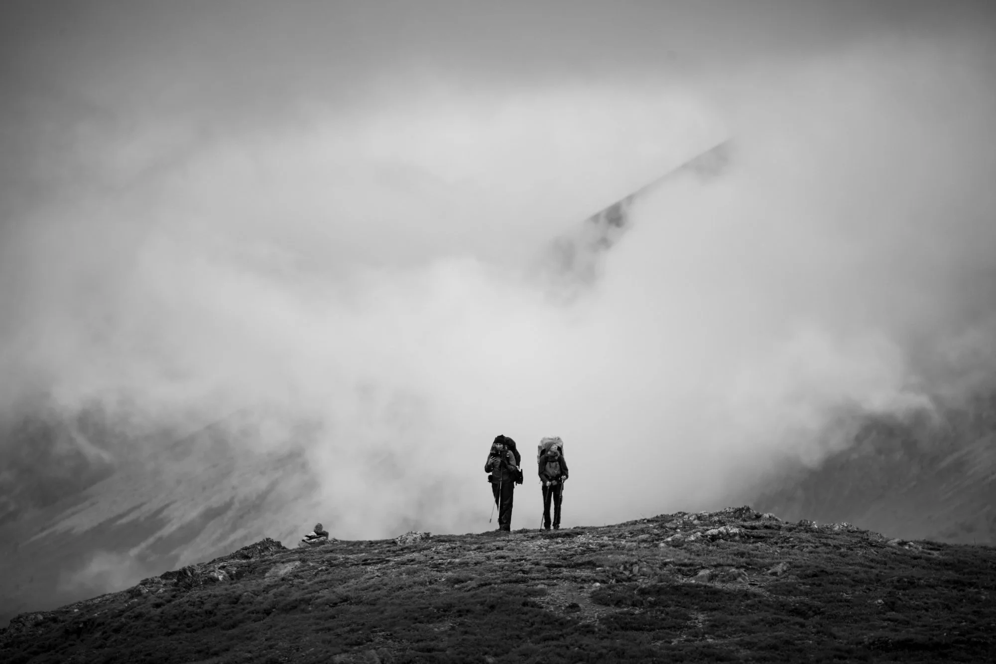
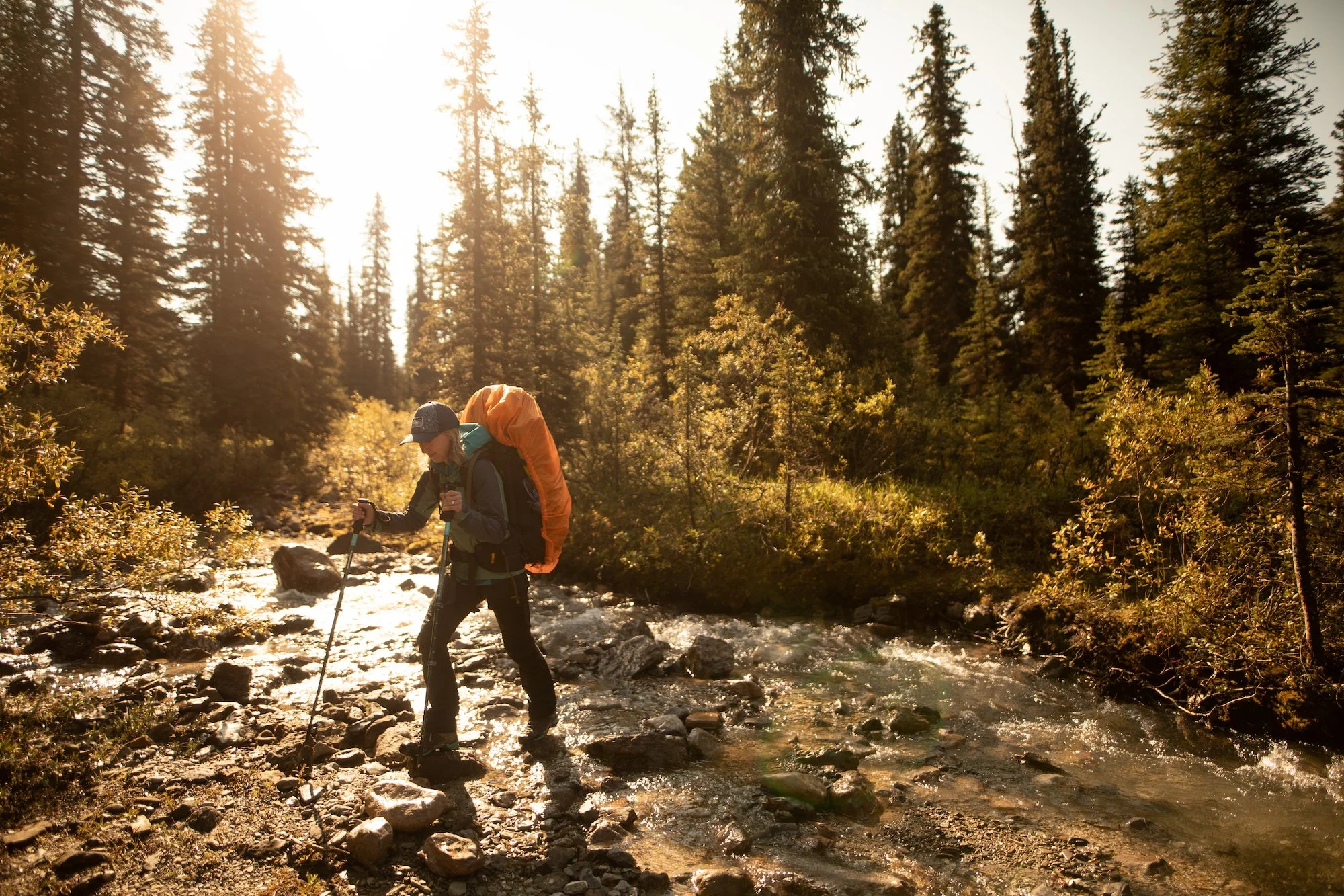
Day 4
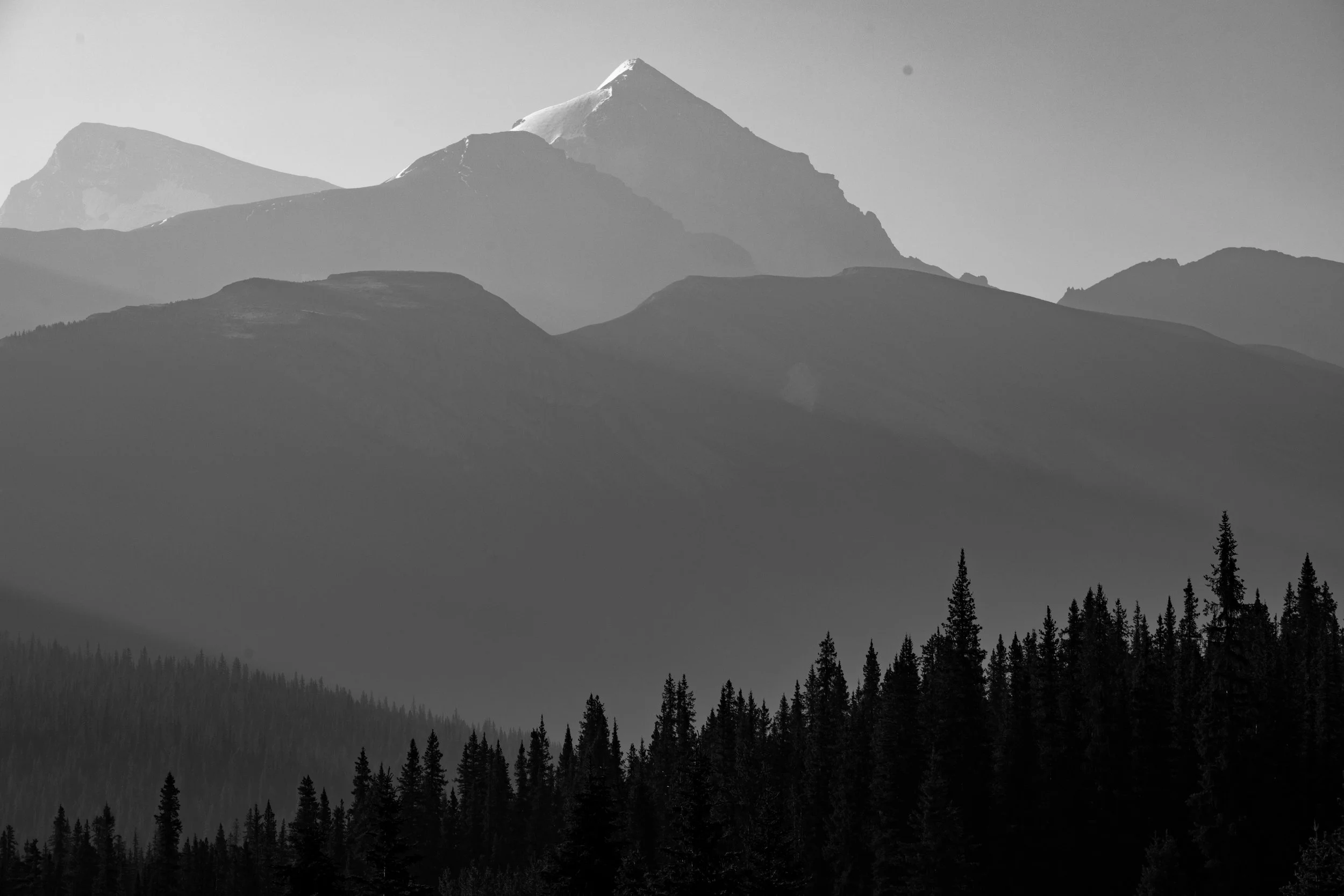
Mary Schaffer Campground to Trapper Creek Campground (14 km), with side trip up shoulder of Mt. Unwin
The adventure peaked on Day 4 in more ways than one. With about 14 kilometres of hiking ahead, as well as a crossing of the Maligne River, our team also set our sights on a ridge on Mt. Unwin from which we’d determined the first known photograph of Maligne was taken. As the story goes, a guide on Schäffer’s party, Sid Unwin, had grown frustrated enough in not finding the lake that he set off from camp (roughly where we spent night 3) and vowed to climb until he saw the lake. Our goal was to re-create his image, but to use a more direct (but unknown) route to the ridge, rather than up and down his convoluted route. So, at the Maligne River Crossing our hiking team split into two. Meg and Jane took all the food and some extra gear, and Nat and Anandi ascended the ridge. Shall we tell you whether or not they made it? 🙂
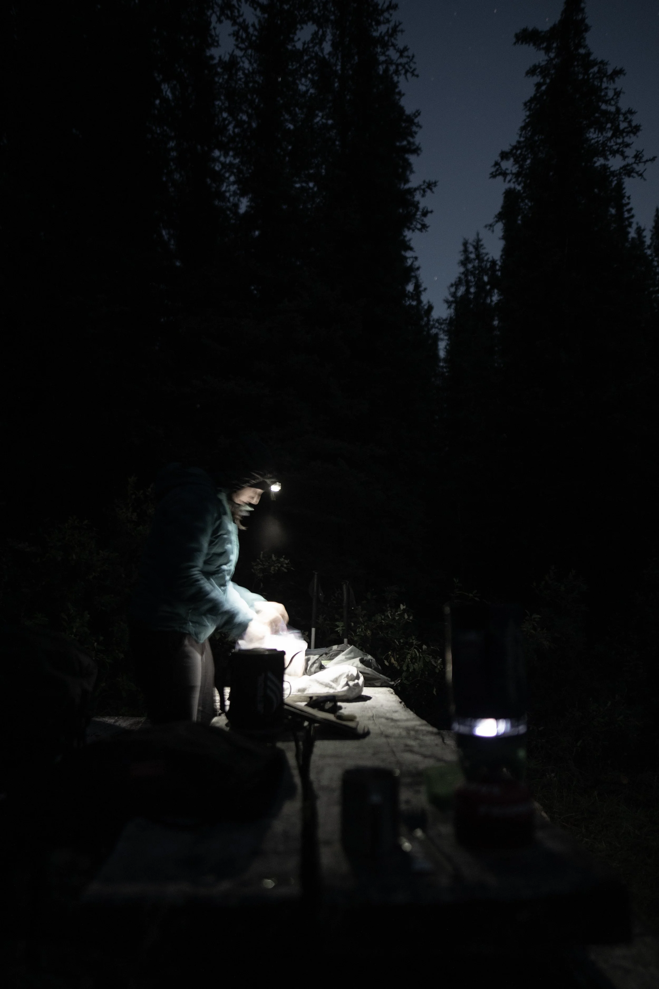
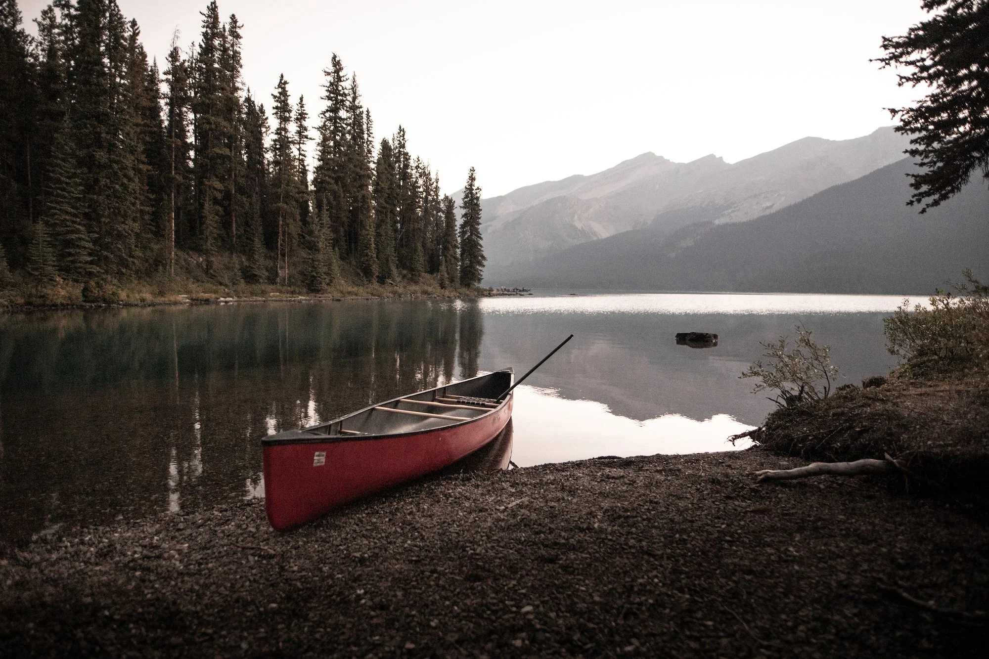
Meanwhile, the canoe team was busy making their way to the hikers from the opposite end of the lake. There was mist and morning light on Maligne Lake when the support crew arrived at the boat dock. JF from Pure Outdoors met us with two canoes. We set off on calm waters and made a scenic side trip into Hidden Cove before paddling as far as we could up the Maligne River and stashing the boats. From there, we bushwhacked to the trail, then Trapper Campground, with a resupply and treats in tow.
The whole team reunited at Trapper Campground, and proceeded to feast on veggies and hummus, wine and cheese, olives, kombucha and chocolate. 🍫🫒🫑
Huge thanks to our canoe squad, most of whom paddled in and hiked out: Trixie, Luke, Sasha and Bruce.
“With lunch over, up came the everlasting question: “Where is that lake? Do you think we are on the right track?” “K.”, who had grown more and more solemn for days, suddenly jumped up and shaking himself violently said: “Well, it’s two o’clock, but I’m going off to climb something that’s high enough to see if that lake’s within 20 miles of here, and I’m not coming back till I know!””
- Mary T.S. Schäffer, Old Indian Trails of the Canadian Rockies [1911]
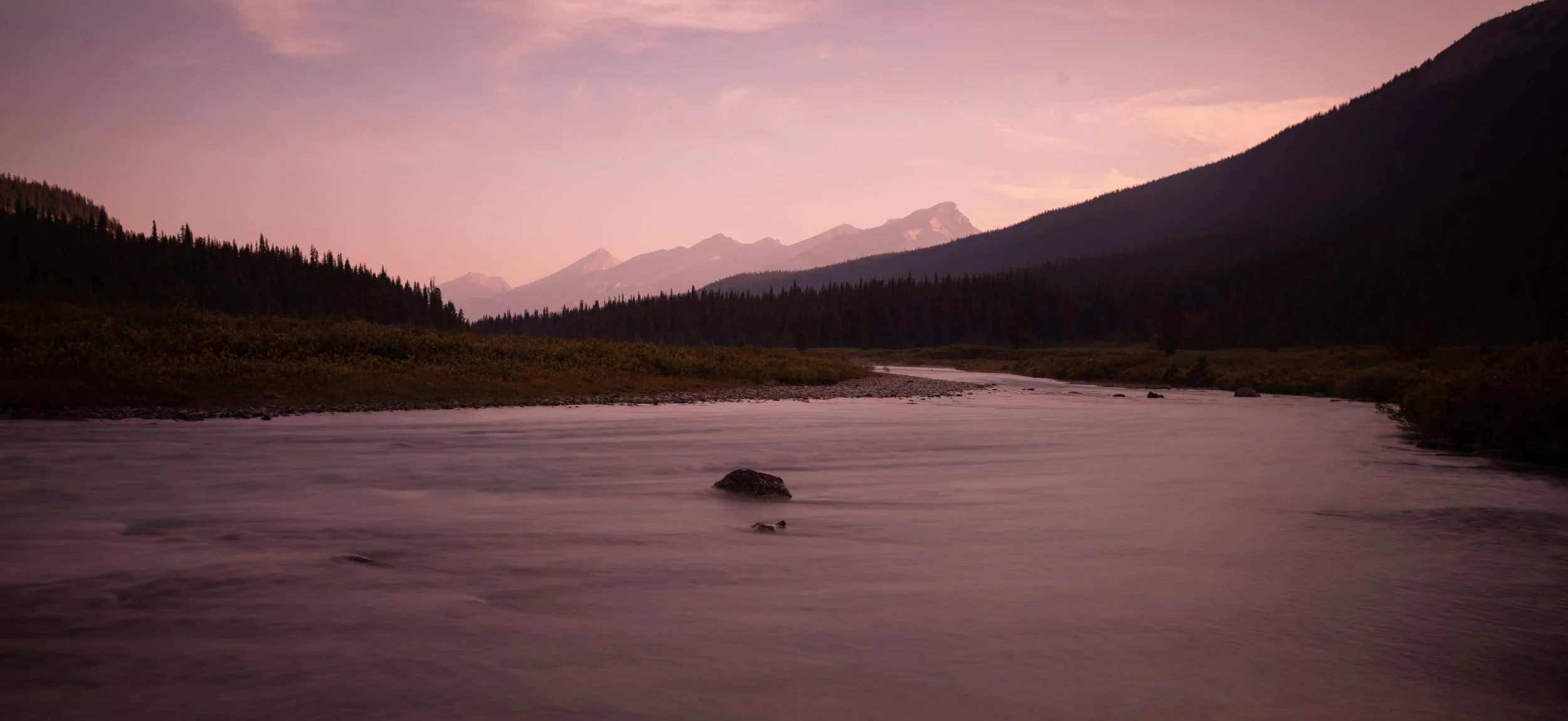
Day 5
Paddle Exploration at Maligne Lake; night at Trapper Creek Campground
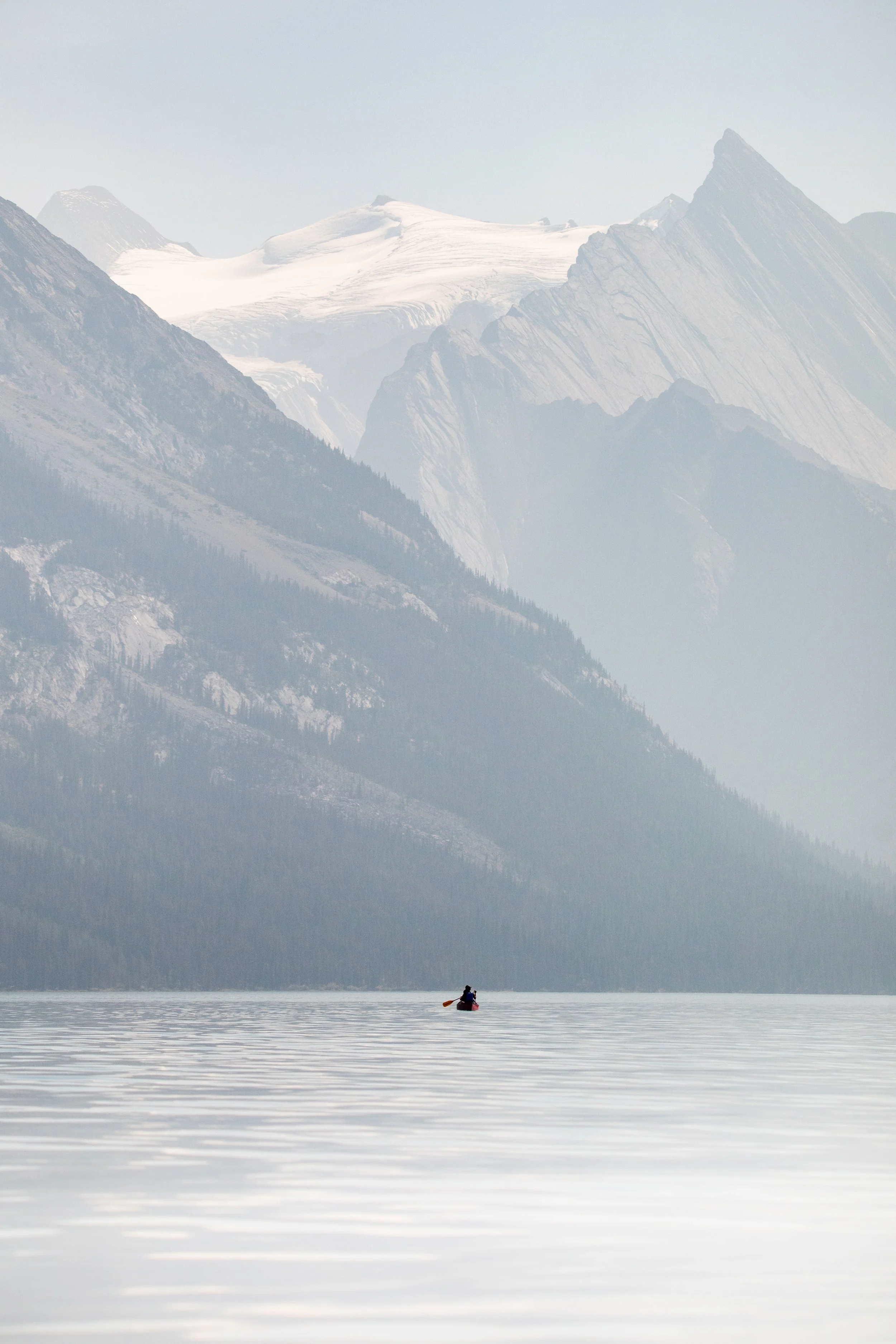
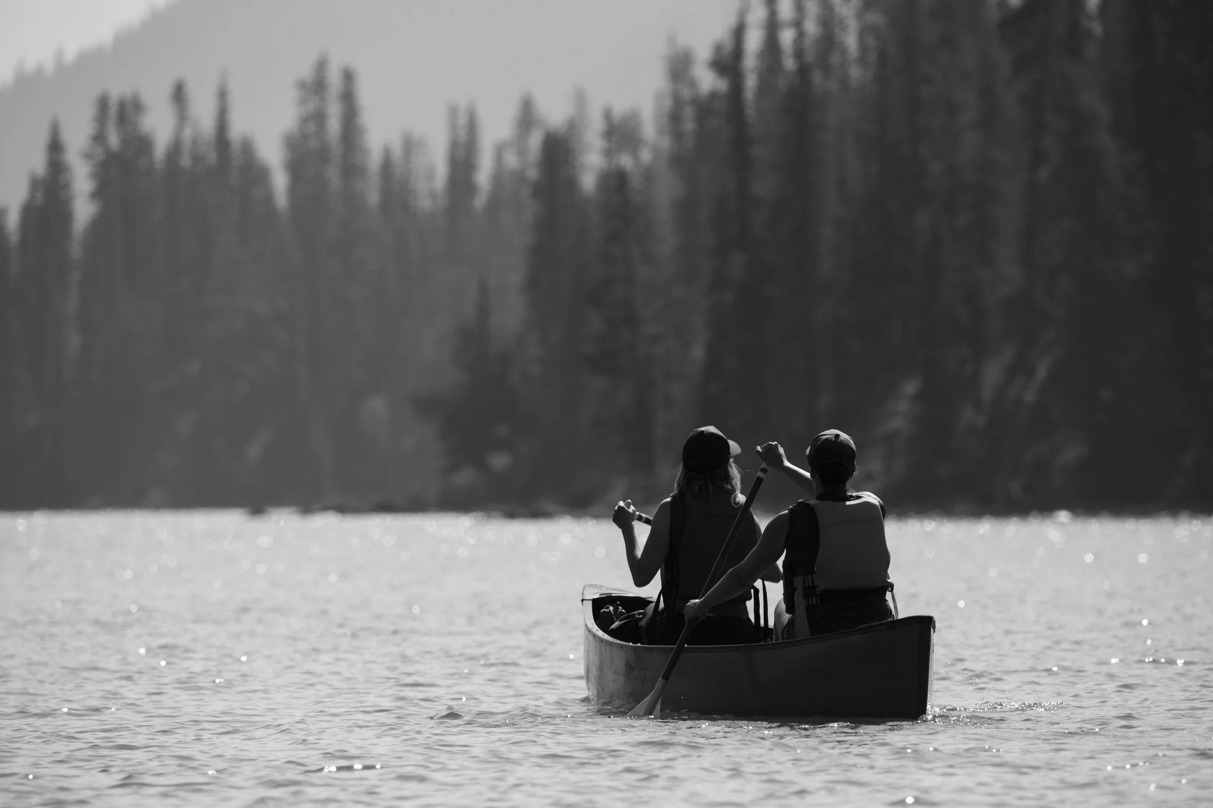
After several days of hiking in Mary’s footsteps, we finally experienced the joys of paddling Maligne Lake.
After a considerable bushwhack with our gear for the day, we found the canoes stashed on the shore of the Maligne River. We launched our canoes into the turquoise waters and let the current carry us to the lake.
We paddled towards dramatic peaks in search of a closer look at the glaciated Mount Unwin. We reached a stretch of shore near Samson Narrows to recreate one of the lantern slides from Mary Schäffer’s exploration of the lake on a hand-built raft. Lunch was a spread of the treats brought in by our canoe team before we turned our bows back to the north end of the lake. We docked the boats at Trapper Picnic area (instead of the Maligne River) for fear that when they were fully loaded they wouldn’t pass through the shallower water. It made for a memorable dinner spot, but also made for a longer bushwhack back to the campground.
All in all, it was a glorious day on the water engaging new muscles, taking in the landscape, and soaking up the warmth of the sun! ☀️
A heartfelt thank you to @pureoutdoorsjasper for outfitting our paddle expedition!
“Personally my sensations towards large bodies of water are similar to those of a cat, and though I begged to rough it, it was not so much to do something uncomfortable as to keep from drowning on an overtaxed raft. With qualms and misgivings next morning, I watched bags, boxes and bundles carried out and deposited on the upper deck of the Chaba, the last two packages being “M.” and myself, who were dumped unceremoniously on with the rest of the cargo. The Botanist waded out for himself, as did Muggins, the rowers climbed aboard, and we set sail.”
- Mary T.S. Schäffer, Old Indian Trails of the Canadian Rockies [1911]
Archive photo: Mt. [Mount] Unwin from Camp [Maligne Lake]. V527 / PS 1 - 68. Whyte Museum of the Canadian Rockies.
Day 6
Paddle Exploration at Maligne Lake; return to Maligne Lake Boat Docks
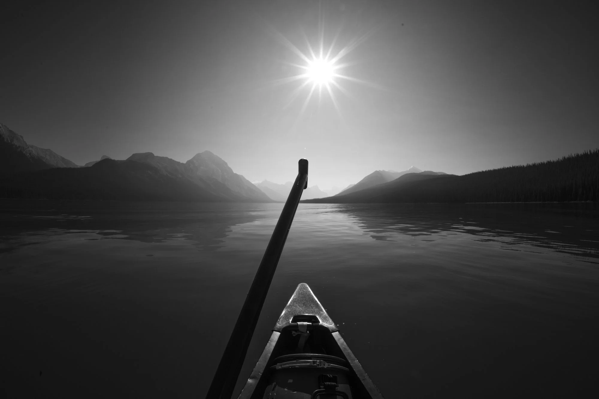
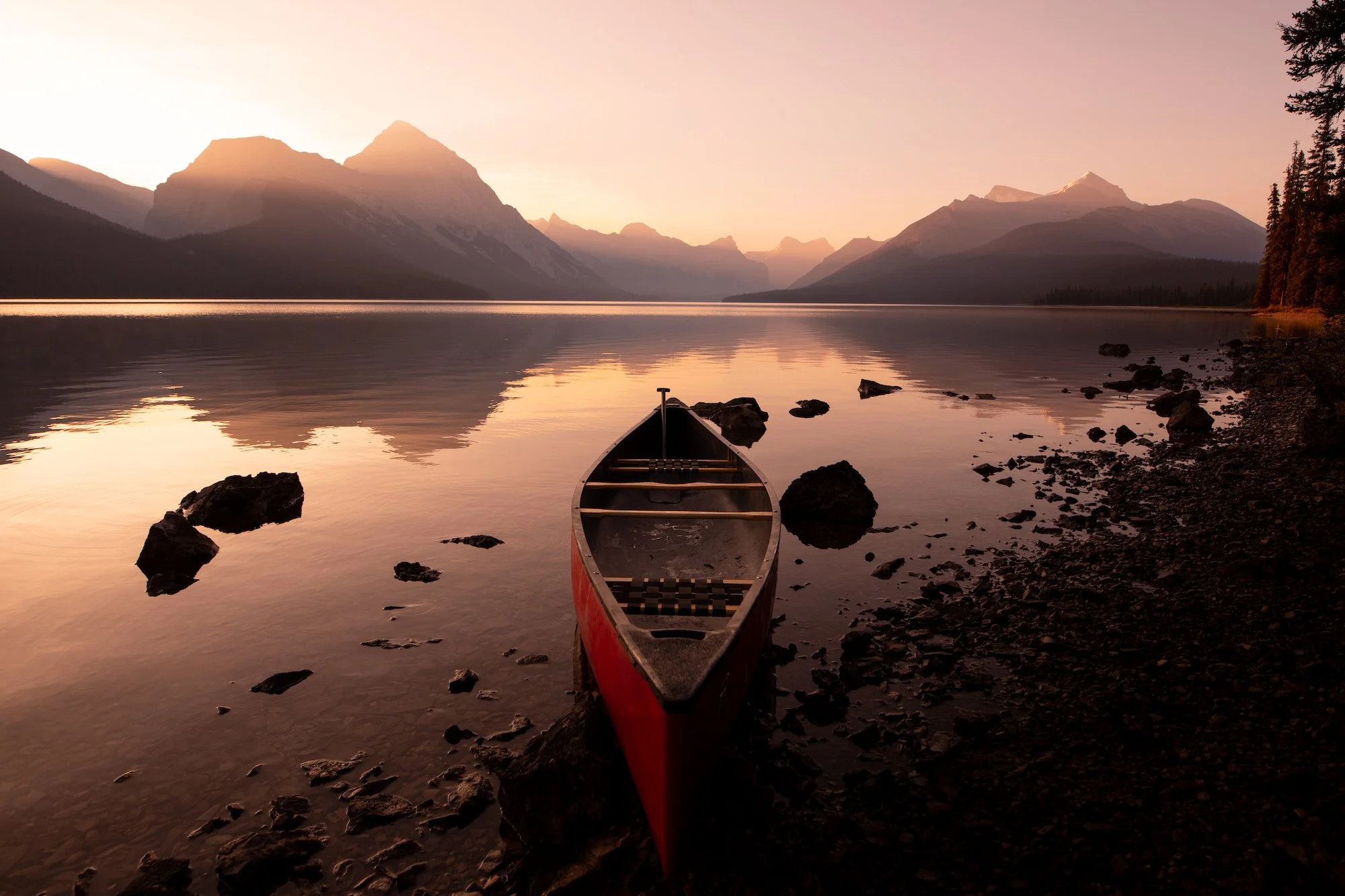
Another bushwhack with the rest of our gear. Our team gathered on the lakeshore at the Trapper Picnic Area as the sun rose over the mountains. Loons sang as warm light spilled into the blue valley, illuminating wisps of mist suspended over glassy water.
It was the kind of morning you wish you could bottle up.
Back in our canoes, we turned away from the mountains and glaciers we flocked towards the day before. We felt something inside us shift as each paddle stroke brought us closer to civilization at the Maligne Boat Docks.
Here is a glimpse of that magical morning for you. 🌄
“Opposite our camp [where we had our lunch] rose a fine snow-capped mountain down whose side swept a splendid glacier. As we paddled slowly in sight of it, “K.” suddenly looked up and said, “That is the mountain from which I first saw the lake.” So we promptly named it “Mount Unwin.” Though the breath of the vetches remained with us all night, the thought of home fled with the crash of avalanches from Mount Unwin’s sides, and the distant yapping of coyotes in the valley behind us.”
- Mary T.S. Schäffer, Old Indian Trails of the Canadian Rockies [1911]
Author’s Note: It’s unknown to our team what many of the features around Chaba Imne (Maligne Lake) were once called. If you have any information, we’d love to learn more about the Indigenous heritage of the area.
Thanks to all of our sponsors who made this trip possible.